Garmin Oregon 550
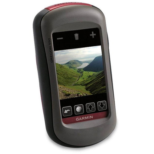

Garmin Oregon 550
Peak tourist GPS Navigator Garmin Oregon, which boasts a large touchscreen, a sensitive receiver, a digital camera and a variety of other useful features. The memory device is preloaded with a basic map of the world and Topo United 3, with detailed maps of the Czech Republic. The device offers advanced navigation features except schemes and an electronic compass, altimeter, the database of geographical data, the possibility of transmission of information between devices, image viewer, and useful information about the sunrise or the moon or about the tides. There is also a mode with the recently popular games geocaching. The power supply is a pair of AA batteries to last up to 16 hours.
Parameters and specifications:
Functions and features:
Electronic compass
Barometric altimeter
Geocaching mode
Outdoor GPS games
Sun/Moon info
Table inflow/outflow
Calculation area
The ability to add points of interest
Image Viewer
ANT wireless technology
NMEA compatible
Camera 3.2 megapixel
Maps and work with the maps:
Basemapa
Map TopoCzech 3
Option outta map
Display:
Color TFT with antiglare coating and a resolution of 240 x 400 pixels
Support for display 65,000 colors
Display Dimensions: 6.5 x 3.9 cm
Memory:
Integrated memory having recorded maps
Slot for microSD memory card
Waypoints/favorites/Position: 1000
Directions:50
Track log: 10,000 bodů/20 routes
Power:
2 x AA batteries
Battery life approximately 16 hours
Water resistant:
According to standard IEC 60529 IPX7 (30 minutes at a depth of 1 meter)
Dimensions:
11.4 x 5.8 x 3.5 cm
Weight:
193 g

Garmin Würzburg GmbH, Leightonstraße 7, 97074 Würzburg, Německo, www.garmin.com, [email protected]
Specifications can be changed without notice. Images are for illustrative purposes only.