


Opravdu má navigace možnost přijímat RDS-TMC aktuální dopravní informace?
NAVITEL G590 MOTO

GPS Navigation - designed for motorcycles, cars, 5" display, 800 × 480 resolution, maps of Czech Republic + Europe, can be mounted on dashboard, 3D buildings and lifetime map updates, features: touch display, FM and music player, map updates via PC, internal memory 8000 MB, supports memory cards up to 64000 MB, connectivity over Bluetooth and USB, cable and holder included in package, black case colour, dimensions 100 × 150 × 20 mm (H×W×D)
Show full description
121.90 €
Price Guarantee
Shop faster with pickup at AlzaBox or in-store.
Warranty 24 months
Code:
PP7110e
Producer's Website:

NAVITEL G590 MOTO
121.90 €
In stock > 5 pcs
Buy
NAVITEL G590 MOTO
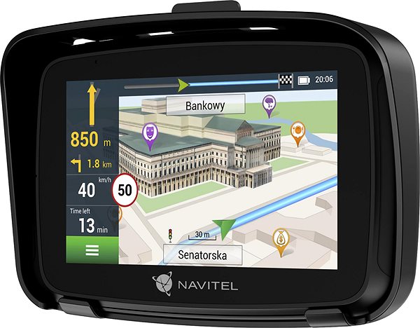
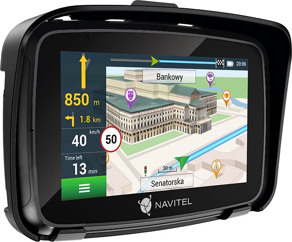
Navigation simplifies our daily lives and improves our travel experiences. The NAVITEL GPS navigation for cars and motorbikes instantly calculates the optimal route once you enter your destination address and shows you how to get there. There's no longer any need to rely on paper maps or manage complex itineraries. You will see the final route on a clear display with a 5" screen size and a high-quality resolution of 800 × 480. It's also a full touchscreen and is easy to operate via an intuitive interface. An internal memory of 8000MB is available for storing all maps, which can be expanded with a Micro SDXC card with a maximum capacity of 64000MB.
Key Features of the NAVITEL G590 MOTO GPS Navigation
- The NAVITEL GPS navigation finds the optimal route to your chosen destination
- Designed for: car, lorry/HGV and motorbike
- Easy-to-read display with a 5" screen size and a quality resolution of 800 × 480
- Touchscreen operation
- All maps are located in the internal memory with a size of 8000MB
- Equipped with a memory card slot for Micro SDXC cards with a capacity of 64000MB
- Receives radio station broadcasts
- Enjoy your favourite music on the go thanks to the music player
- Modern features include maps of the Czech Republic + Europe, can be mounted on the dashboard, 3D buildings and lifetime map updates
- Maps are updated via a computer
- Radio waves (RDS-TMC) enable the reception of real-time traffic information
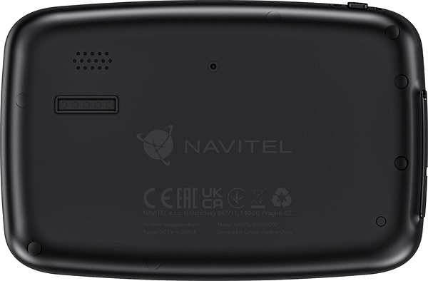
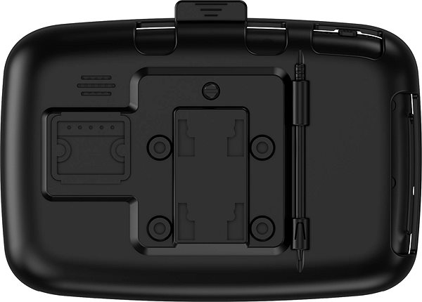
- The package includes a cable and a holder
- Connects to your device via Bluetooth and USB technology
- The colour of the device is black
Modern features make your journey to your destination comfortable and easy
The NAVITEL GPS navigation, with its many modern features, offers countless advantages. The ability to display buildings in 3D can significantly improve users' visual orientation.
Always chooses the right direction
Just enter your planned destination and the NAVITEL navigation will guide you on the correct route, which means less wasted time and less stress. The navigation comes with a pre-installed set of maps for the Czech Republic and Europe. The stored maps are updated via a computer, ensuring access to the most up-to-date map data and road information. Real-time traffic information is received via radio waves.
Plenty of fun with NAVITEL navigation
You'll never be bored on the road with the NAVITEL GPS navigation. It has a built-in FM radio. Not only will it get you to your destination reliably, but you can also listen to radio stations during your journey.
GPS navigation dimensions:
100 × 150 × 20mm (h×w×d)
Frame width:
160mm
Specifications
Auto, Motorcycle
5" (12.7 cm)
800 × 480
Connectivity
Charging connector
Navigation type
Auto, Motorcycle
Hardware and Software
5" (12.7 cm)
800 × 480
Connectivity
Charging connector
Battery life and memory
Equipment and features
Accessories
Functions
Maps
Map Update Method
Maps
Map format
Languages
Notification language
Interface Language
Dimensions
Width
Height
Depth
Frame width
Color and finish
Case colour
Degree of protection
Package contents
Included
More Specifications
Note:
Specifications can be changed without notice. Images are for illustrative purposes only.